Ghale-morghi Ecological park
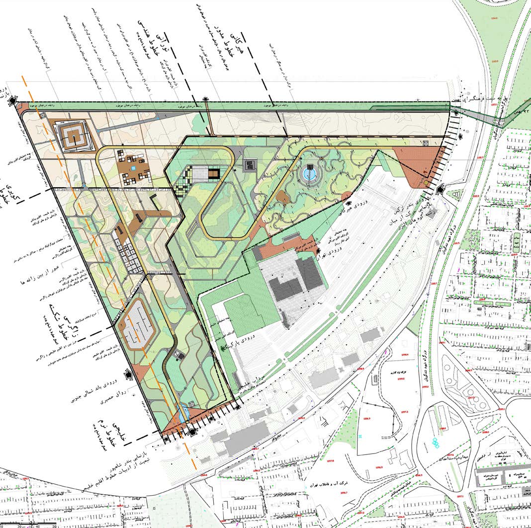
The project’s final concept emerges from the amalgamation of multiple layers crafted during the design process. The initial layer involves site zoning, which is primarily based on distinct climatic zones. These zones are delineated according to the map derived from the ecological garden design area and include the Gulf area (70035 square meters), the Zagros area (51765 square meters), the desert area (91350 square meters), the Turani area (82215 square meters), and the Hyrkan area (9135 square meters).
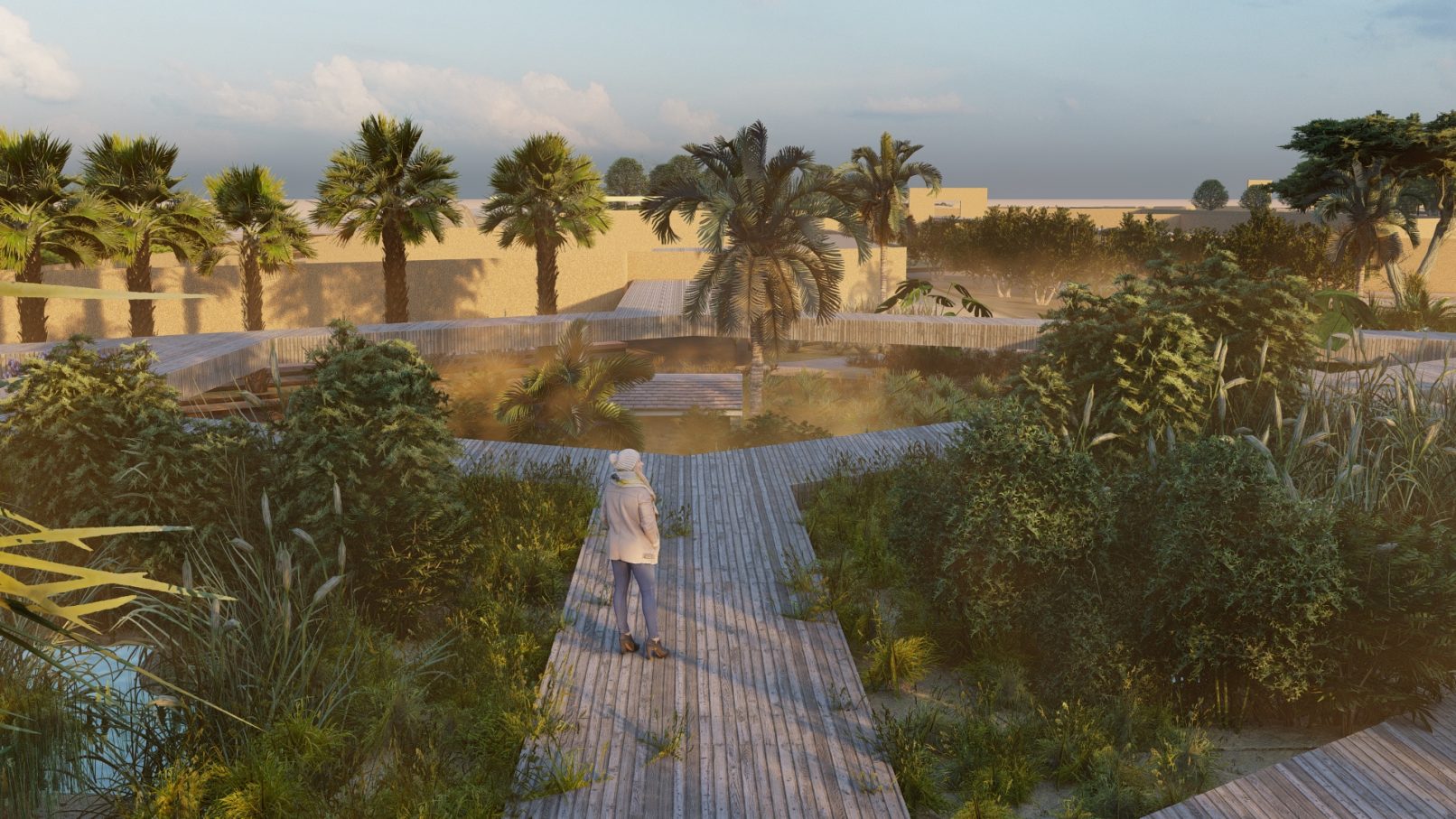
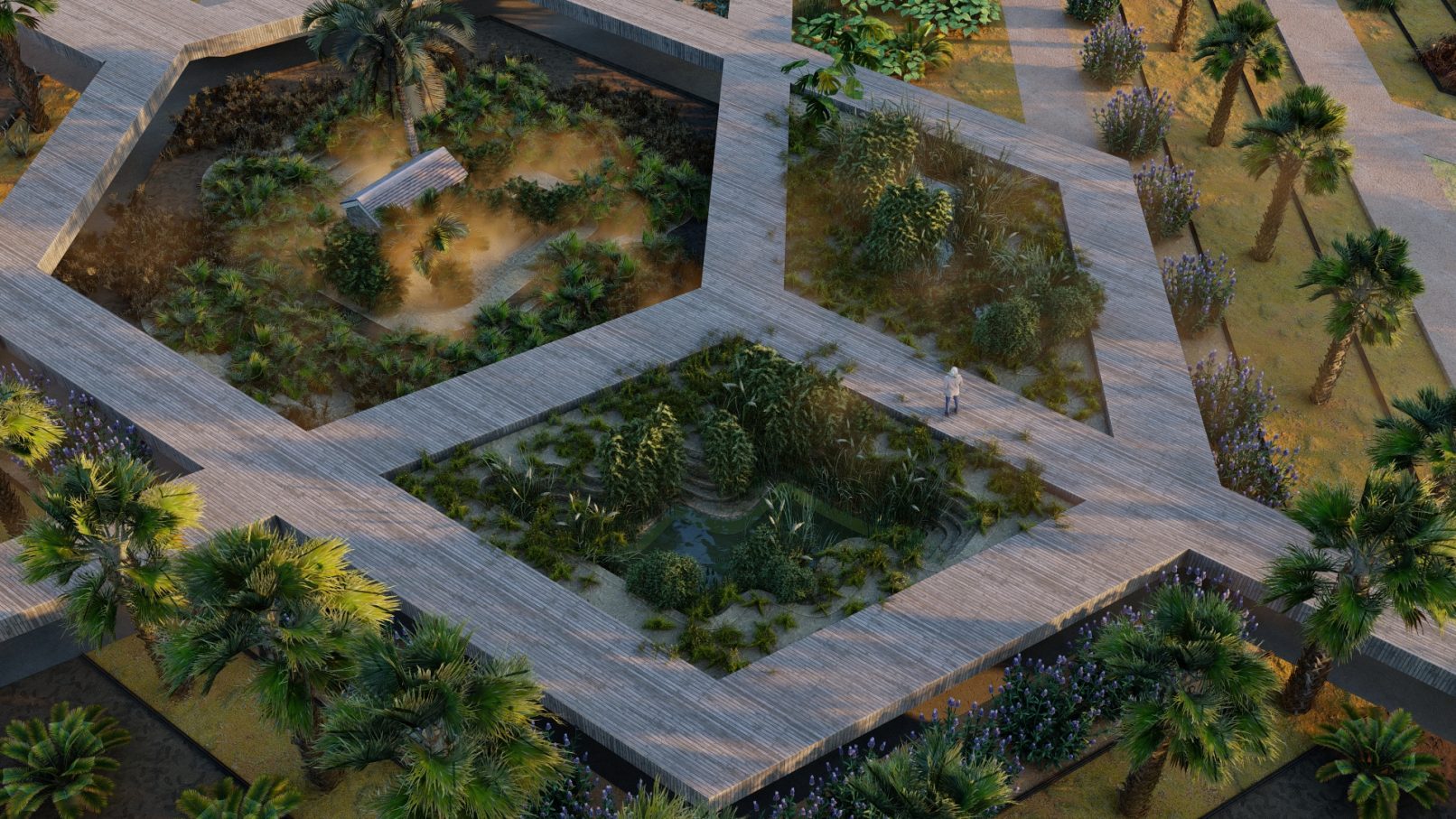
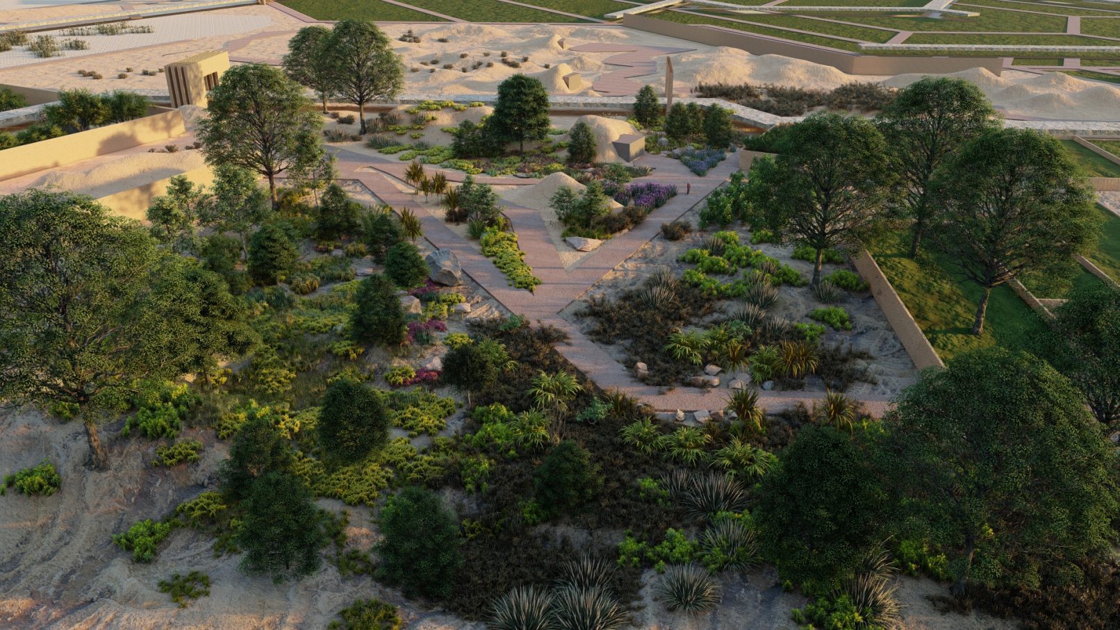
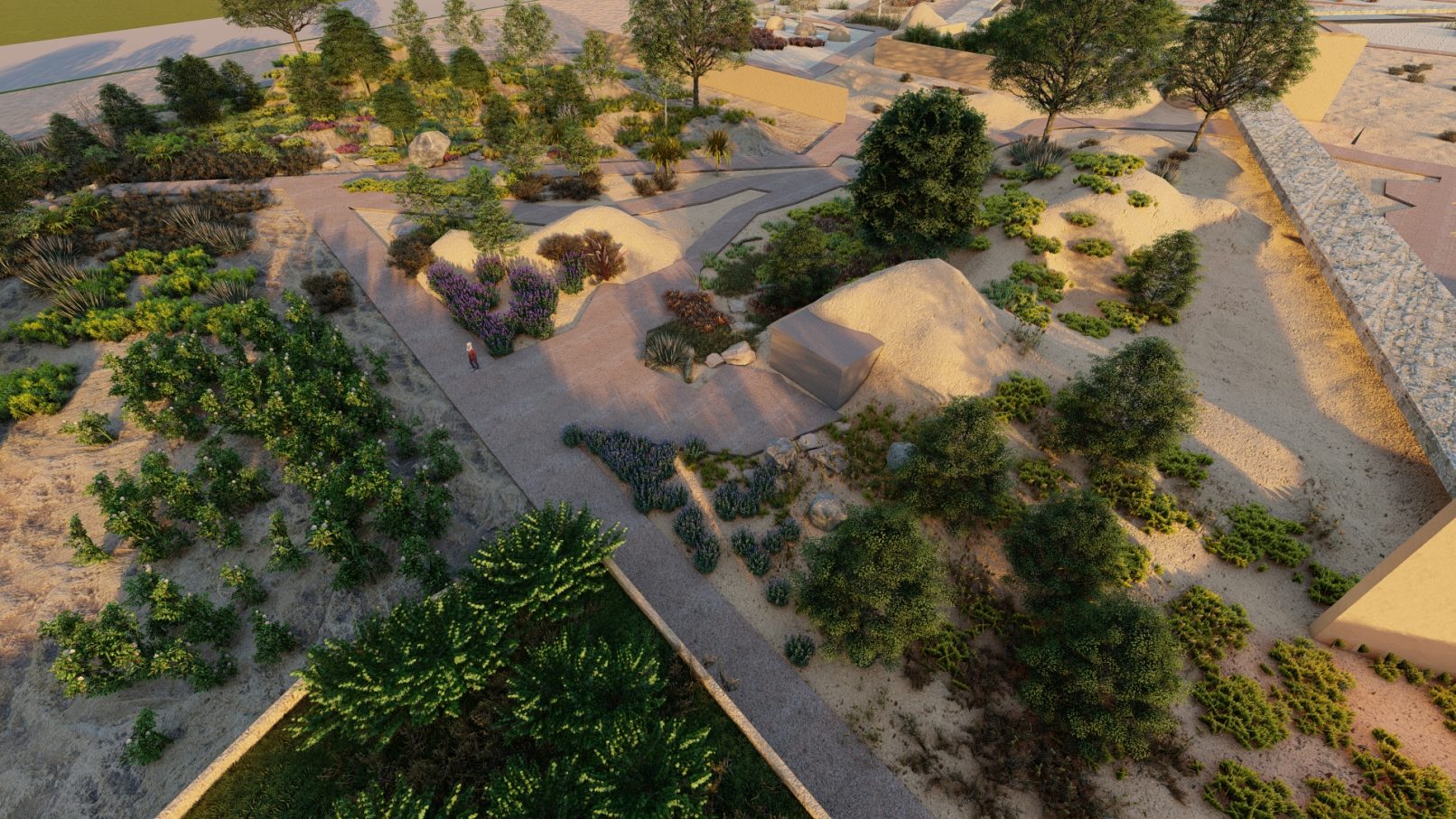
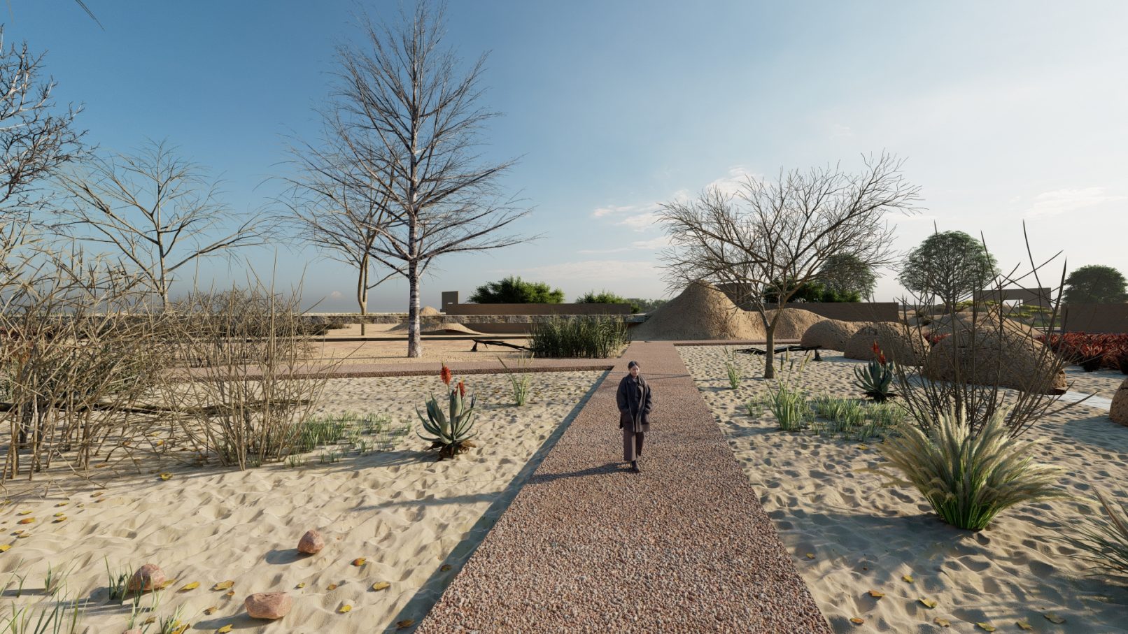
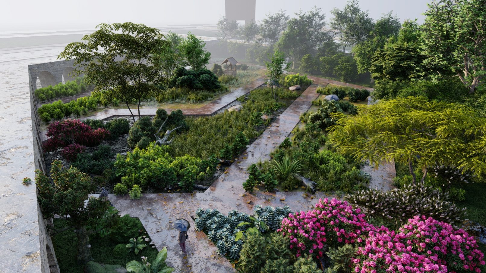
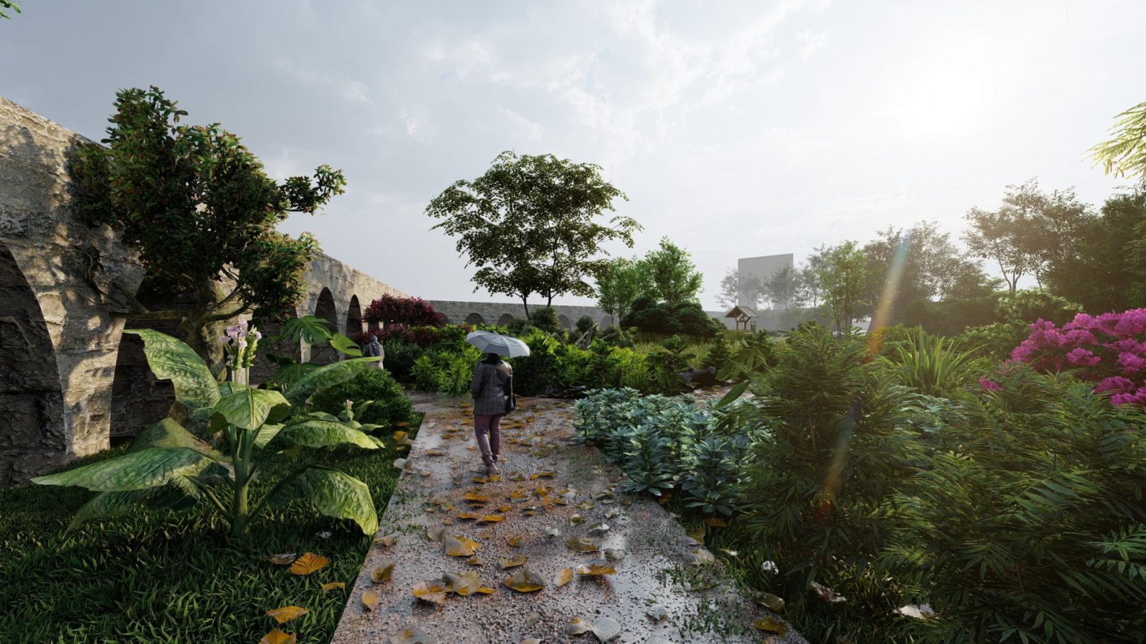
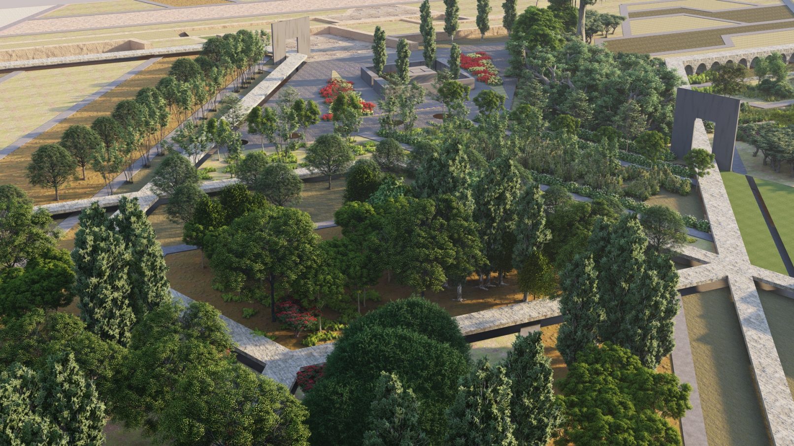
In each zone’s design, patterns and elements drawn from the corresponding climates are intricately woven. For instance, elements such as the garden pit, aqueduct, oasis for the desert climate, stepped spaces, valleys, and foothills for the Zagros region, plains, wetlands, and reeds representing the Gulf region, and paddy fields mirroring the Hyrcanian region are thoughtfully integrated into the proposed plan. These climatic zones, in conjunction with concepts like the railway track and the Iranian garden, culminate in the project’s final physical and conceptual framework.

